The Country That Made Its Cities Walkable on Purpose
No app did it. Just bollards, narrower lanes, and politicians willing to lose a few arguments first.
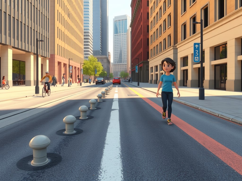
In 1999, Pontevedra, a city in Spain's northwest, pedestrianised its entire 300,000-square-metre centre. No pilot project, no phased rollout, no app. The city simply stopped letting cars into the middle. Since then, according to the Rapid Transition Alliance, Pontevedra has recorded a drastic drop in traffic accidents, reduced anti-social behaviour, and a 70 percent fall in CO2 emissions. That is not a technology story. It is a story about paint, paving, and political nerve.[8]
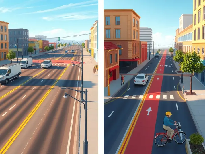
The same pattern repeats across Europe and beyond: cities that reversed car-dependence did it through deliberately boring street design. A 2024 paper examining eight European case studies of livable-city planning draws a useful distinction. "Redistribution" is an administrative act — changing a road to a pedestrian zone, which requires a legal intervention but no structural one. "Redesign" changes the utilization ratio of an area, such as reducing lanes to widen sidewalks, which requires construction but no new law. Most successful projects, the authors found, needed both.[1]

What Actually Changed on the Ground
Copenhagen's Strøget is the origin story. In 1962 the city proposed fully closing the street to vehicular traffic, per Cities Forum. Merchants feared customers would avoid the area without car access, and residents anticipated delivery disruptions and logistical problems. So the city ran a pilot: it closed the street for the Christmas shopping season before committing to anything permanent. Pedestrian volumes grew significantly, retail performance stabilised or improved even without car access, and air quality improved while noise pollution decreased. Within a year, the pedestrianisation became permanent — and later catalysed a network of pedestrian and low-traffic streets across the city.[9]
San Francisco took a heavier swing. In 2005 the city opened Octavia Boulevard, replacing a portion of elevated freeway, according to the Santa Clara Valley Transportation Authority. The multiway boulevard permits high volumes of through traffic while providing slower local bicycle, pedestrian, and vehicle access. It works by layering: central travel lanes bordered by tree-lined medians with walking paths, and slow-speed one-way access roads with sidewalks and on-street parking. The four-block boulevard is capped by a park, Hayes Green, where the centre lanes turn onto a one-way arterial. Designers kept the roadway as narrow as possible to preserve space on one side for housing that had been removed when the freeway was built — and the final project serves not just to move people but as a place to gather, and a way to heal a neighbourhood the elevated freeway had disrupted for three decades.[2]
Elsewhere the tools are cruder. Barcelona's Superblocks group city blocks together and restrict through-traffic to reclaim street space for pedestrians and cyclists. New York's High Line turned a former elevated rail line into a public park that prioritises pedestrians. Seoul's Cheonggyecheon restoration removed an elevated highway to uncover a historic waterway, creating a 5.8-mile public recreation space. Times Square went from congested traffic hub to pedestrian plaza on principles laid out by urban designer Jan Gehl. Freiburg's Vauban district was built car-free around walkability and community participation. Curitiba's master plan tied land use to transport, ensuring high-density development along transit corridors.[3]
After controversial implementation processes, stakeholders often value the changes rather positively — the finding that should be stapled to every city hall wall.
The Bill Comes Due in Politics, Not Paving
The research is blunt about the friction. Before and during planning and implementation, similar concerns and discussions about the effects of planned changes show up in most projects, according to the DLR paper. Most projects require a long-term planning process and considerable communication effort alongside participation tools for citizens and stakeholders to succeed. The consolation prize is real: after controversial implementation processes, stakeholders often value the changes rather positively.[1]
Not every politician survived the argument. In early 2023, conspiracy theories emerged describing 15-minute cities as instruments of government repression, claiming they were a pretext to introduce restrictions on travel by car, per Wikipedia's background account. The proposals do not involve any restrictions on travel by car; they emphasise a reduction in car dependency. Paris mayor Anne Hidalgo had put the concept in her 2020 re-election platform, and in July 2020 the C40 Cities Climate Leadership Group published a framework for cities to "build back better" using it, citing plans in Milan, Madrid, Edinburgh, and Seattle after COVID-19 outbreaks.[7]
The COVID era produced a global experiment: 125 different programs across 157 municipalities tried slow and shared streets in response to the crisis, according to CivicWell. Some stuck. Mountain View extended its Castro Street closure beyond the pandemic, and Palo Alto's California Avenue is to remain permanently car-free.[4][10]
What Failed, and Why It's Usually the Same Reason
The cautionary tale is American. A Cornell study analysed 125 pedestrian malls created in the 1960s and '70s; only 43 are still open, per CivicWell. The pattern behind the closures is legible. There is a direct relationship between successful malls and local population density — as density rose, closure risk fell. Longer malls suffered a higher risk of closure sooner than shorter ones. Each additional year in the city's median age raised closure risk by about 8 percent. Proximity to a university or college correlated with long-term success. In other words, the malls that failed were often built where there weren't enough people to walk them.[4]
Car-free days have their own asterisk. A PMC review found impacts are highly variable and depend on the scope and goals of each event. Some reduced certain air pollutants but had little or adverse impacts on others. Traffic is often diverted from cordoned areas to surrounding streets, displacing congestion and adverse environmental exposures to other parts of a city — with potential understudied implications for environmental justice. Very few studies focus on actual health impacts.[13]
The economics, where measured, tend to surprise people. Brooklyn's Vanderbilt Avenue saw retail sales double in the three years after bicycle lanes and a tree-lined median were installed, according to a Sustainable Streets study. At Amsterdam and St. Nicholas Avenues in Harlem, stores saw sales rise 48 percent after the DOT simplified a difficult intersection with new public space and traffic pattern changes. The study found street projects that improve safety and design and welcome pedestrians, cyclists, and transit riders see higher retail sales. It also conceded a methodological problem: a review of current practices found no well-established, objective methodologies for evaluating how street design affects neighbourhood economies. New York's DOT had to build its own, refining a replicable approach to sales tax data with the city's Department of Finance.[11]
A Checklist for Your City's Next Plan
Start with the safety hierarchy. The research notes list two principles of the Safe System approach: deaths and serious injuries from traffic crashes are unacceptable, and humans make mistakes. Measures rank by effectiveness, descending: socioeconomic levers, changes to the built environment, latent safety measures, active measures, and education last. A 2023 systematic review identified physical traffic calming — roundabouts, speed tables — as scientifically supported for reducing speeds and crashes. A 2018 review found automated speed enforcement cameras reduce speeds and both injuries and fatalities.[12]
Then ask the boring questions. Is the change a redistribution, a redesign, or both — and does the city have the legal or constructional authority it needs? Is there a pilot with a defined end date, as Copenhagen ran on Strøget? Is density sufficient to sustain foot traffic, or is this a 1960s mall waiting to close? Is the street short enough to work? Is there a university, a transit corridor, or a job cluster nearby? Has the city budgeted for the communication and participation that the research says most projects require? And has anyone measured sales, crashes, and air quality before and after, using a method that would survive an audit?[1][4][9][11]
The deeper lesson is historical. In 1925, Los Angeles became the first American city to adopt a traffic ordinance subordinating pedestrians to motor vehicles on city streets, per Wikipedia's account of the car-free movement. By 1956, Detroit police arrested 19,765 pedestrians for jaywalking — while arresting only 8,662 drivers for violating the pedestrian's right of way. Cleveland that era arrested 7,070 pedestrians for jaywalking and 790 drivers for right-of-way violations. The street wasn't lost by accident. It was legislated away, one ordinance at a time. Which means it can be legislated back — and the cities that have done it mostly used bollards, paint, and patience, not breakthroughs.[6]
Sources
- [PDF] Case studies of new urban planning policy: effects of redesigning ... — elib.dlr.de
- Case Studies (Street Design) | VTA — vta.org
- Top 10 Case Studies On Walkable And Socially Inclusive Public Spaces | Urban Design Lab 2026 — urbandesignlab.in
- Slow Street Lessons from Failed Pedestrian Malls - CivicWell — civicwell.org
- 10 Failed projects and the lessons learned ILX USA — ilxgroup.com
- Wikipedia: Car-free movement — en.wikipedia.org
- Wikipedia: 15-minute city — en.wikipedia.org
- Reclaiming the streets: the increasing trend of pedestrianisation around the world | Rapid Transition Alliance — rapidtransition.org
- From Resistance to Resilience: Strøget and the Long-Term Payoff of Pedestrianisation - citiesforum.org — citiesforum.org
- Case Studies: Pedestrianized Streets — Hayes Promenade — hayespromenade.org
- The Economic Benefits of Sustainable Streets — ssti.us
- Traffic and street… | Results for America - Economic Mobility Catalog — catalog.results4america.org
- The Impacts of Car-Free Days and Events on the Environment and Human Health — pmc.ncbi.nlm.nih.gov
Reported with AI assistance using internet sources.