The Woman Who Mapped the Ocean Floor and Was Called a Fraud
Marie Tharp drew the Atlantic's hidden ridges and rift valley in the 1950s, was told it was 'girl talk,' and lived to see her maps rewrite geology.
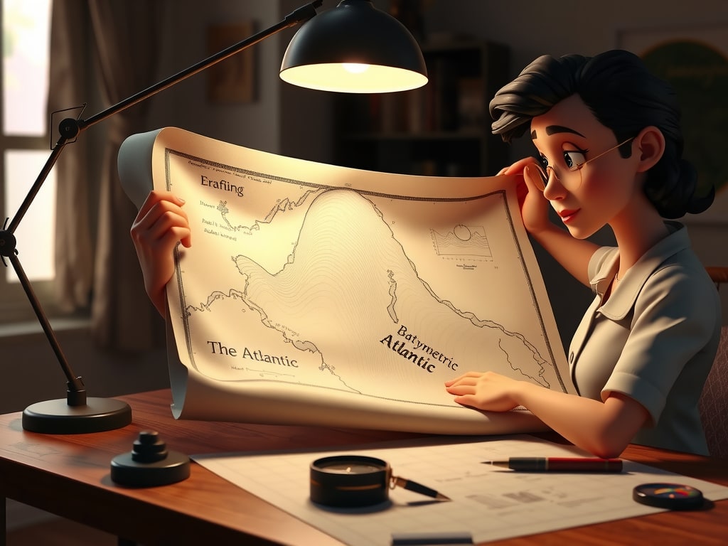
Marie Tharp never set foot on a research ship until 1968. By then, she had already drawn the most important map of the ocean floor ever made. Working from a cramped office at Columbia University's Lamont Geological Laboratory, Tharp turned thousands of sonar soundings into pen-and-ink profiles of the North Atlantic. What she found—a continuous rift valley running down the center of the Mid-Atlantic Ridge—would help overturn the geological consensus. But first, she had to convince her own colleague that she wasn't talking nonsense.[10][9][1]
A Cartographer Without a Ship

Tharp was born in Ypsilanti, Michigan, in 1920 and earned a master's degree in geology from the University of Michigan in 1944, followed by another in mathematics from Tulsa University in 1948. That same year, she began working at the Lamont Geological Laboratory, where knowledge of the seafloor was still so sparse that scientists assumed it was mostly flat and featureless. Women were barred from research ships, so Tharp stayed ashore while her colleague Bruce Heezen collected bathymetric data aboard the research vessel Vema. For the first 18 years of their collaboration, Heezen recorded the soundings; Tharp processed them and drew the maps.[1][2][10][4]
Working with pens, ink, and rulers, Tharp aligned sounding profiles from thousands of sonar readings into roughly six west-to-east profiles across the North Atlantic. She independently used data from Woods Hole's R/V Atlantis. Across those profiles, she noticed a V-shaped indentation—a large valley, she surmised, in the center of the ocean floor. By the 1950s, she had documented more than 40,000 miles of mid-oceanic ridge, revealing underwater mountains and canyons that no one had ever mapped.[9][8][2]
The Rift That Wouldn't Go Away
When Tharp showed Heezen that her plotting of the North Atlantic revealed a rift valley, he dismissed it as 'girl talk' and told her to recalculate and redraft. She did. The rift valley was still there. Heezen favored the Expanding Earth hypothesis, and continental drift was still a controversial idea at the time. Tharp's discovery suggested something else: that the ocean floor was spreading, and that Africa and South America had been ripped apart along that central valley.[1][6][7]
The turning point came from a mapmaker named Howard Foster. His undersea earthquake fault zones lined up almost exactly with Tharp's mid-Atlantic trench. When Heezen saw that earthquake epicenters aligned with the rift valley on Tharp's diagrams, he became convinced it was an active geological boundary. It took Tharp a year to convince him. In 1956, the findings were presented at the American Geophysical Union meeting, and that same year Tharp published the North Atlantic physiographic map, drawn in pen and ink. In 1957, she and Heezen published the first map of the Atlantic, revealing canyons, ridges, and mountains on the seafloor.[2][1][8][10]
When Heezen presented the rift valley and earthquake epicenters at Princeton in 1957, geology department chair Harry Hess replied, 'You have shaken the foundations of geology.'
Credit, Erased
Heezen presented the mid-ocean rift and earthquake theory as his own work at Princeton in 1957. Tharp's name did not appear on any of the major papers on plate tectonics that Heezen and others published between 1959 and 1963. Their first major map, the Physiographic Diagram Atlantic Ocean, was published in 1957 in the back of a co-authored paper in The Bell System Technical Journal. Because detailed bathymetric contours were considered militarily sensitive, Tharp and Heezen focused on terrain and shapes rather than precise depths. The map showed a textured seafloor rather than a flat, featureless one—and Tharp had sketched in the rift valley.[6][1][3]
In 1964, a professional disagreement between Maurice Ewing and Heezen led Ewing to cut off Heezen's access to Lamont data and then fire Tharp. She had already produced the first comprehensive study of ocean floor topography, but she long remained in the shadows. According to CNRS News, the map was produced in large part thanks to a woman who long remained in the shadows. Her name was Marie Tharp.[1][4][5]
Vindication, in Color
In the 1960s, Tharp and Heezen presented their combined data as spectacular color undersea topographic maps, and their work convinced the naysayers. The 1977 World Ocean Floor map, signed 'Heezen and Tharp,' was hand-painted by Austrian artist Heinrich Berann and published by the Office of Naval Research; it is still in wide use today. Heezen died of a heart attack that same year while on a research cruise to study the Mid-Atlantic Ridge near Iceland. Tharp completed the World Ocean Floor map. In 1995, she donated their research papers to the Library of Congress, which in 1997 named her one of the four greatest cartographers of the 20th century.[2][5][8][6][9][10]
Tharp's discovery of the Mid-Atlantic Ridge caused a paradigm shift in earth science that led to the acceptance of plate tectonics and continental drift. Her maps revealed a 40,000-mile underwater ridge girdling the globe, laying the foundation for the work that showed the sea floor spreads from central ridges and continents move relative to one another. Jacques Cousteau, determined to prove Tharp wrong, crossed the mid-Atlantic Ridge and lowered an underwater movie camera. The film showed that a rift valley existed.[1][9][7]
What the Map Teaches
Tharp's case is a study in how scientific consensus resists evidence that challenges the status quo. She had the data, but she didn't have the authority. Her colleague called her interpretation 'girl talk' until a separate map of earthquake epicenters made the rift valley impossible to ignore. Even then, her name was left off the papers that built on her work. What enabled her persistence? The record suggests a combination of meticulous craft—she redrew the profiles when told to—and the sheer stubbornness of the evidence. The rift valley was still there. Eventually, so was her credit. Today, the Heezen-Tharp map is a standard reference, and Tharp's name is attached to it. The map of the world was redrawn, and the woman who drew it is finally on it.[1][6][7][5]
Sources
- Marie Tharp - Wikipedia — en.wikipedia.org
- First Map of the Ocean Floor | EarthDate — earthdate.org
- Honoring Marie Tharp and Bruce Heezen's Ocean Mapping Legacy — libraryoflostmaps.com
- Instagram — instagram.com
- A pioneer wiped off the map | CNRS News — news.cnrs.fr
- Wikipedia: Bruce C. Heezen — en.wikipedia.org
- Marie Tharp pioneered mapping the bottom of the ocean 6 decades ago – scientists are still learning about Earth’s last frontier — theconversation.com
- The woman who mapped the ocean — lcm.loc.gov
- Marie Tharp | Woods Hole Oceanographic Institution — whoi.edu
- About Marie Tharp | Lamont-Doherty Earth Observatory — marietharp.ldeo.columbia.edu
Reported with AI assistance using internet sources.